









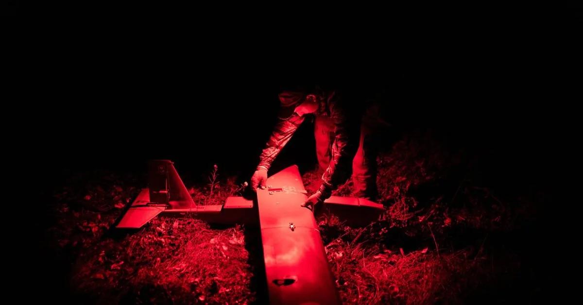
That night, the Ukrainian team had a new and powerful battlefield tool – advanced satellite images that allowed them to track the movement and positions of soldiers almost in real time.
Read more As Jessica Shy’s concerts approach – embarrassing behavior: showed everyone
Just a year ago, satellite images did not always reach soldiers on the front line the same day. The process was hindered by less advanced technology and a confusing command structure.
For these reasons, it was very difficult to hit moving targets with long-range drones, such as soldiers hiding in an abandoned house. Now, the support team monitoring the house provides drone operators with fresh satellite images clearly showing a car parked in the yard – direct proof that the Russians are inside.
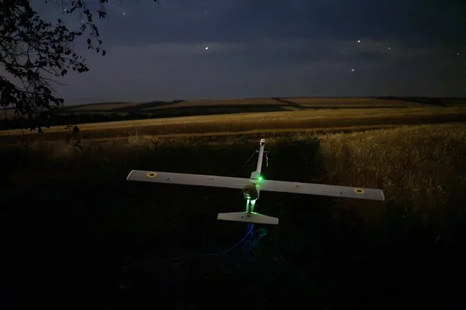
“Target confirmed,” whispered one of the drone operators, callsign Tichis.
The rapid transmission of high-quality satellite images to soldiers on the front line was one of the key technological breakthroughs on the battlefield last year. It allows Ukraine to strike swiftly at weapons depots, logistics centers, and troop concentrations deep within Russian-controlled territory and inside Russia itself.
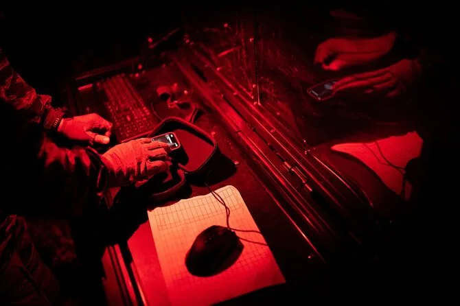
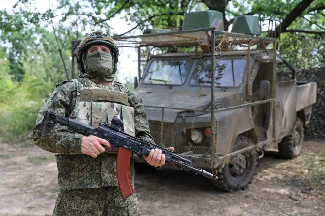
The pickup truck driven by Tichis and his partner, callsign Teplo, is actually a mobile command post with computers capable of connecting to commercial satellites.
The Dutch company Bravo1Alpha developed an even more convenient tool: images are transmitted to a device resembling a portable video game console, where pilots can search for targets, plan flight routes, and even fire drones.
In some cases, soldiers on the front line can control satellites themselves, quickly analyze images to find targets, and then launch strikes. Rapidly transmitted satellite images also help them verify which targets have been hit and, if necessary, shell them again.
Soldiers still require approval from higher-ranking commanders before selecting targets – reducing the risk of mistakes by less experienced pilots. However, the process itself is now much more optimized.
This advancement laid the foundation for Ukraine’s efforts to isolate the Russian-occupied Crimean Peninsula. Recently, attacks conducted with the help of satellites destroyed ferry terminals vital to Russia’s efforts to supply the peninsula, as well as logistics routes supplying Russian troops in southern Ukraine with weapons and food supplies.
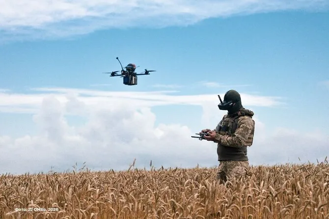
In June, soldiers of Ukraine’s 422nd Separate Unmanned Systems Regiment, using satellite images, identified and destroyed several objects in the occupied Zaporizhzhia region that Russia used to disrupt Starlink system signals. Most Ukrainian drones rely on these for navigation.
Additionally, this regiment recently participated in an operation that destroyed several highly expensive Russian air defense systems in Crimea, among other targets.
“This is incredibly valuable support,” noted the regiment commander, Major Mykola Kolesnyk.
With the war in Ukraine essentially stuck in bloody positional battles, success on the battlefield increasingly depends on new technologies that both sides race to gain an advantage. Drones – in the air, on land, and at sea – have become the most effective tool to injure or destroy enemies.
However, this technology is much less effective when it comes to detecting the enemy itself. Intelligence drones (known as ISR) can be shot down, and their signals jammed. Moreover, their operational range and the physical area they cover are limited.
Space is becoming the new front line of this war.
Ukrainians were already using satellite images provided by allied governments and commercial companies before the 2022 invasion to facilitate the fight against Russia.
Until recently, satellite images on the front line were a rarity. Access to such data was limited to senior commanders who used the images for high-level strategic planning.
Even these capabilities were limited and easily disrupted. For example, in March 2025, President Donald Trump ordered the Pentagon to stop sharing satellite images, although he later allowed the information to be supplied to Ukraine again.
Over roughly the past year, Ukraine’s access to satellite images provided by the U.S. government and private companies has greatly expanded.
Read more Russian oppositionist found dead in Poland
The commercial company Vantor, which has cooperated with Ukraine for many years, recently launched six new satellites. They now have a total of 10. These satellites can cover up to 7 million square kilometers of the planet’s surface daily – enough to scan Ukraine’s battlefield multiple times, explained the company’s transformation manager, Will Cocosas.
Satellites can photograph the same area up to 15 times a day. This helps soldiers notice even the slightest changes in terrain that may reveal potential Russian targets.
According to W. Cocosas, a much more important factor for Ukraine’s battlefield progress was that soldiers on the front line could use these images.
Photos can now be obtained in as little as 15 minutes, although it often takes several hours. Still, this is a huge leap forward compared to the recent past when images had to be awaited for days.
W. Cocosas stated that an even more important factor for Ukraine’s progress on the front was the expanded ability to communicate with forces on the battlefield.
“Basically, we just hand over the satellite to them,” noted the Vantor representative. “They tell us what to photograph.”
The start of drone warfare has fundamentally changed the face of the battlefield since the early days of this conflict. Large columns of armored vehicles, logistics centers, or troop concentrations that were easy to spot and attack are now a thing of the past.
“Our regiment hasn’t seen a tank for half a year,” emphasized M. Kolesnyk. “Those they still have are carefully hidden in shelters.”
The regiment commander insisted on meeting with The New York Times journalists at the edge of a forest outside Zaporizhzhia, southeastern Ukraine, rather than at the command post or in the city itself, fearing drones buzzing overhead.
Commercial satellite companies maintain huge archives of images accumulated over a long time, allowing battlefield commanders to study subtle environmental changes – tracks in the field, fallen trees, newly cleared ground. Anything can reveal that a target is hiding there.
“Overall, this resembles a genuine revolution in military technology,” believes Robert Tollast, a military expert from the Royal United Services Institute (RUSI) in London.
Two Ukrainian drone operators stationed at the forest edge, watching a house with Russians inside, awaited confirmation. A soldier, callsign Teplo, played a video on his phone showing a strike just delivered with the help of a satellite.
It showed a dense grove in the Kherson region where no military targets were visible to the naked eye. However, after analyzing satellite images for several weeks, soldiers noticed tracks leading toward the trees – absent in earlier frames. In the next video, the same grove had turned into a fiery hell of burning equipment.
“It’s a perfect operation,” declared Teplo. “Honestly, it’s a bit scary. No one can help you.”
An eerie silence hung at the edge of the field. Occasionally, it was broken by the chirping of crickets and distant explosions. But while waiting for enemy drones, Ukrainian pilots were tense and alert. Every strange sound made them flinch. The soldier, callsign Tichis, had his hand bandaged after a recent collision with a Russian first-person view (FPV) drone.
The first attempt to destroy the house with Russian pilots was interrupted by Russian forces’ bombardment. The skies were pierced by Shahed drones and powerful gliding bombs. Ukrainian electronic warfare equipment designed to jam Russian weapon GPS signals also prevented the Ukrainian team from launching their drone.
After a few nights, it was quieter. Then Ukrainian soldiers were able to deliver a decisive strike. The satellite image taken after the attack showed its effects: two huge holes gaping in the roof of the house.
Read more Horoscope for August 19: The stars promise a special day for 4 Zodiac signs
This article was published in The New York Times.
© 2026 The New York Times Company