








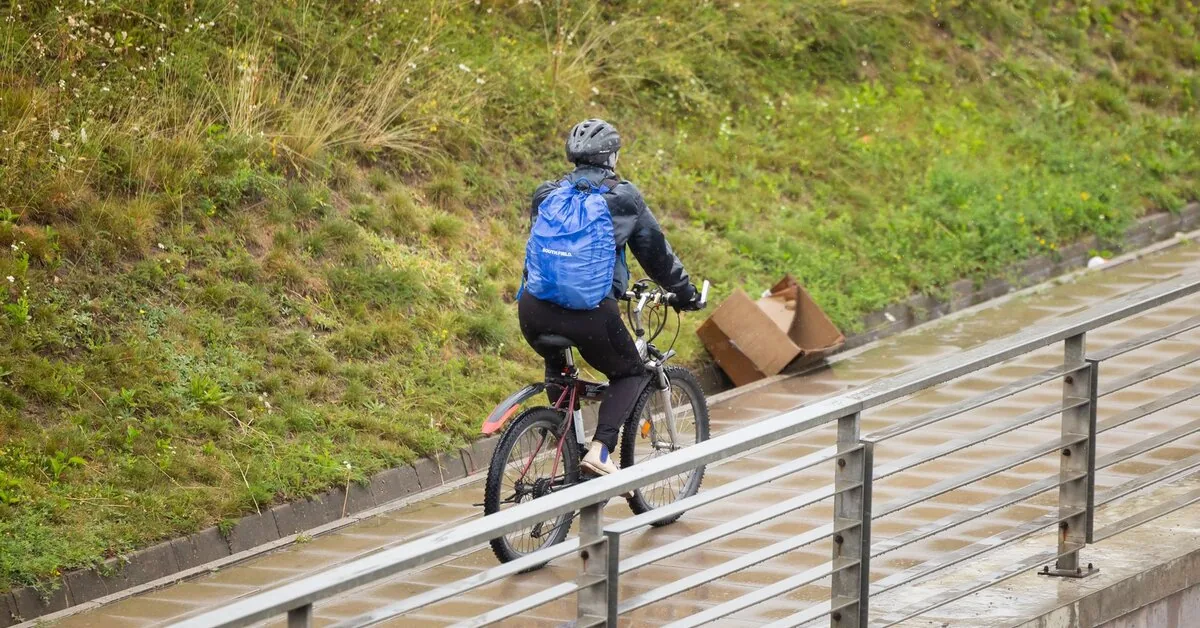
Clearings should increase more in the evening hours. Rain is expected in some places. In the first half of the day, mostly just drizzle, and in the afternoon, short-term rain is expected in some places. There is a higher chance of rain in the northeastern part. A light, variable wind will blow. The highest temperature will range between 17–21 degrees Celsius.
Read more Revealed where the drone was shot down
On Wednesday night, we will remain under the influence of a high-pressure area. Clouds will clear further, and no significant rain is expected. In some areas, fog reducing visibility will again prevail. The southern winds will remain weak. The temperature will drop to 7–12, 13–14 degrees Celsius by the seaside.
For most of Wednesday, cloudiness will be minimal. The sky will start to cloud up a bit more in the second half of the day in the west of the country. In the evening, short-term rain is expected there. The southern winds will strengthen somewhat. The day is expected to be warmer – the temperature will rise to 18–23 degrees Celsius.
On Thursday night, a cold atmospheric front will move across Lithuania. Cloudiness will increase rapidly, and rain will fall in many places by morning. The wind will change direction and be of moderate strength. Due to clouds and rain, the temperature will not fall below 11–16 degrees Celsius.
On Thursday during the day, we will be under the influence of a cyclone. Most clouds are expected in the morning, and clearings will increase in the afternoon. However, short rain will fall in many districts, mostly in the east of the country. A rather strong southwest and west wind will blow. The air will warm up to 15–20 degrees Celsius.
Friday’s weather will be influenced by a high-pressure area. Clouds will thin again, and rain will fall briefly only in some places. At night, the temperature will drop to 6–11, 12–14 degrees by the seaside, and during the day it will be 17–22 degrees Celsius.
Read more Gvidas Gineitis played a half against the leaders of the Italian championship