








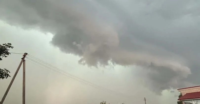
On Thursday evening and night, we can expect strong storms. In some places, their clouds have already arrived and are watering with rain.
Read more Shot Lithuanian national bird: event recalled old trial of customs officer who killed 15 storks
More – Latest information: tornadoes may even form, very intense precipitation is approaching.
Meteorologist Elvyra Latvėnaitė says that the storms should retreat along with Thursday.
“Hello everyone on this still very warm, in some places even hot day. Some have already been watered by rain and thunder has rumbled, while others are still awaiting weather troubles. From the cyclone named Justine, the atmospheric front stretched to us has darkened and will already travel this evening through southern, southeastern Lithuania, watering, thunder will strike, and with stronger rain and thunder bursts, wind gusts will swirl and even hail will fall.
This is the worst weather scenario for this evening and the beginning of the night, a better one – storm clouds will scare neighbors, and the weakest part of them will reach us (let’s watch radar data).
Later, early Friday morning, the storm will calm down, during the day only some light rain without thunder will fall in some places. It will be cooler, a somewhat stronger westerly wind will blow, throughout Lithuania.
Over the weekend, with drier and calmer weather, an anticyclone with the complicated name Quiriakus will reach us, cooler air from the north will still push in, so nights will be cool, and days will not warm up much either.
Monday should be much warmer again, but briefly. On Tuesday, a pressure area of a wetter cyclone will push through Scandinavia, it should water well, and cool down again. Although from Wednesday there will be little rain, we will not see much warmth (according to current data until next weekend),” says the meteorologist about the weekend and next week’s weather.
Read more Do you have high blood pressure? This drink after dinner can help regulate it
On Friday, August 7, there will be occasional rain, heavier at night and with thunder. Wind from western directions at night 6-11 m/s, at the beginning of the night during thunder in southern, southeastern districts gusts 15-17 m/s, in the morning and day 7-12 m/s, gusts up to 15 m/s on the coast. At night 15-17°C, during the day 19-24°C, coolest in western districts.
On Saturday, August 8, no rain at night, during the day a few drops may fall from a darker cloud in some places, mostly in northern Lithuania. Wind from western directions at night 5-10 m/s, during the day 7-12 m/s. At night 10-14°C, on the coast 15-17°C, during the day 19-24°C, coolest in the western, northwestern edge.
On Sunday, August 9, no rain. Wind variable 2-6 m/s, during the day 4-8 m/s. At night 9-13°C, on the coast 14-16°C, during the day 20-25°C.
On Monday, August 10, no rain at night, during the day, starting from western districts, occasional rain, mostly in western Lithuania. Wind from southern directions at night 4-8 m/s, during the day 7-12 m/s. At night 12-14°C, on the coast 15-17°C, during the day 25-28°C, on the coast 22-24°C.
On Tuesday, August 11, heavy rain at night with thunder, occasional rain in some places during the day. Wind at night from south, southwest, during the day from southwest, west 7-12 m/s, at the beginning of the night during thunder, during the day steady gusts 15 m/s. At night 14-16°C, on the coast up to 18°C, during the day 18-22°C.
On Wednesday, August 12, no significant rain. Wind from western directions 7-12 m/s. At night 9-14°C, on the coast 15-17°C, during the day 19-23°C.
On Thursday, August 13, no rain. Wind variable 3-7 m/s. At night 9-12°C, on the coast 13-15°C, during the day 19-23°C.
Read more Waiting for an underground miracle: «Žalgiris» – «Hajduk» 0:1